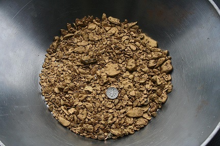
Yukon Gold Mines
Placer Claims
Property Details
| Location | Canada, Yukon |
|---|---|
| Address | PO Box 357 Mayo YT |
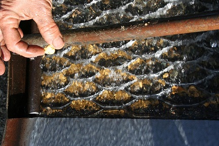
| Commodities | Gold |
| Deposit Type | Placer |
| Mining Phase | Exploration |
| Asking Price | Lease, Sale or Joint Venture |
| Available Terms | For Lease, For Sale, Joint Venture |
| Listing Tier | Featured |
| Market Status | Listed |
Summary
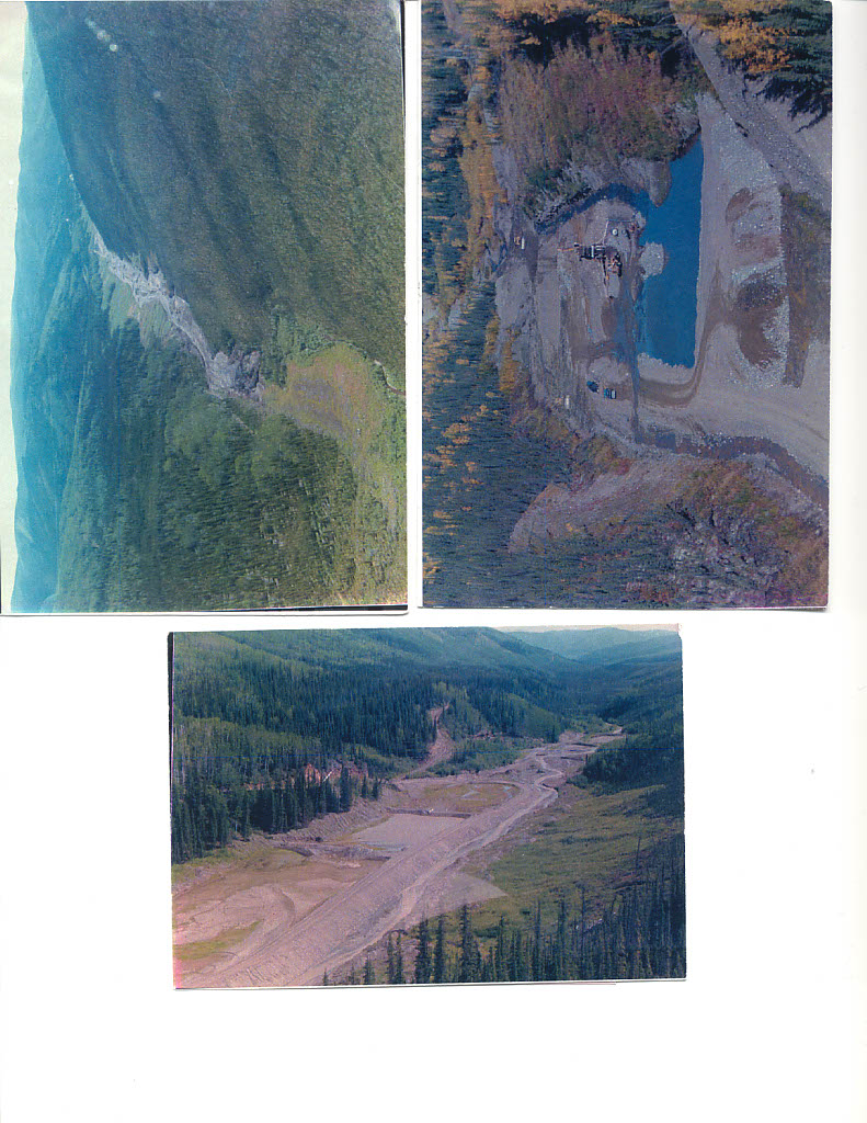
Location and Access
Scroggie & Walhalla creeks:
Tributaries of the Stewart River in the Yukon Territory. The property is located approximately 113 miles south of Dawson City. Current access is by winter road or barge in the summer months. Newmont/GoldCorp has permits for the construction of a Northern Access Road to their Coffee Creek Gold Project which will create permanent access for all-season hauling of heavy equipment and services, with access from Dawson City directly.
Maisy May: (Fully Leased out to 3 operators as of Oct 2024)
Tributary of the Stewart River in the Yukon Territory. It enters the Stewart River approximately 50kms upstream of the Stewart’s confluence with the Yukon River. The property is located 135 kilometers south of Dawson City with good road access. Newmont Mining Corp will be building and upgrading the road right through the property. The mining season in the Klondike region runs from mid-May until mid-October.
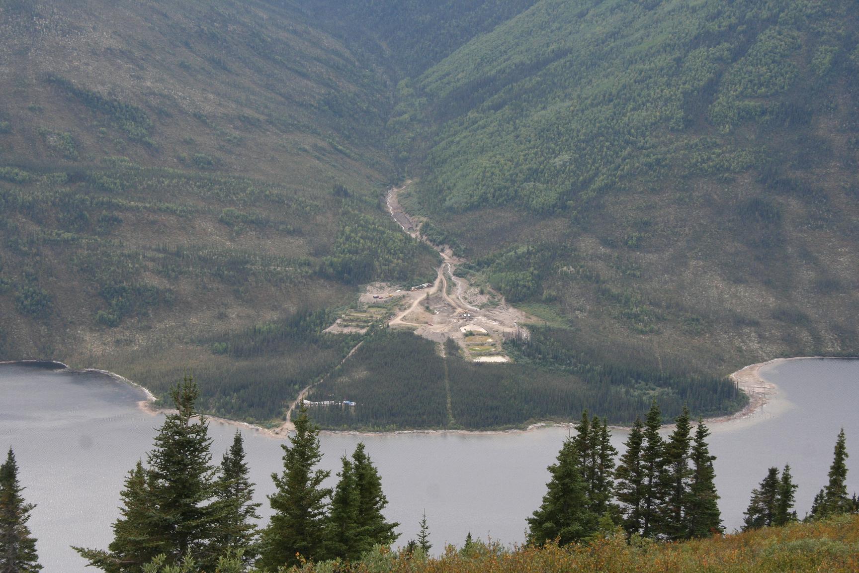
Anderson Creek: (Leased out as of Oct 2024)
A watershed on Mayo Lake, in the Yukon Territory. Mayo Lake is located in central Yukon, approximately 45 kilometers from the Village of Mayo. It is 22kms from the lake access road to the property. Access and transportation is via boat or equipment barge. The mining season in the Mayo Lake region runs from late-May until mid-October.
Description
History
Scroggie/Walhalla:
The entire Klondike Plateau, including Scroggie/Walhalla Creek, was the site of the Klondike Gold Rush from 1986-1899. Beginning in the early 1900’s, Scroggie/Walhalla creek saw exploration and hand mining. Mine shafts and evidence of underground mining are well-documented along the creeks and their tributaries. The upstream valley of Scroggie, as well as the adjacent creeks, still has active mining operations currently producing.
Maisy May:
The entire Klondike Plateau, including Maisy May Creek, was the site of the Klondike Gold Rush from 1986-1899. The Rush was responsible for the discovery and establishment of workings on the richest placer reserves in the world. By the early 1900’s, a wagon road and telegraph line ran along Maisy May creek. Mine shafts and evidence of underground mining have been found along the creek. The Yukon Consolidated Gold Corporation included Maisy May in their extensive drilling programs, but never reached the creek for dredging before the company began to close down operations in the Territory.
Anderson Creek:
Exploration of Mayo Lake began in the early 1900’s as a result of the Klondike Gold Rush that occurred some 150kms to the west of Mayo. Mine shafts and evidence of underground mining have been found along Anderson Creek.
Additional Information
I'm looking to lease my properties so I can retire after 41 years of mining: Terms 10% on the 1st 1000 oz, 15% on the 2nd 1000 oz and 20% on anything above 2000 oz. I'm also open to offers to purchase any of the mines and or a joint venture on Scroggie/Walhalla.
I have lots of equipment in the Yukon that could be leased or purchased for any of the mines.
Photos
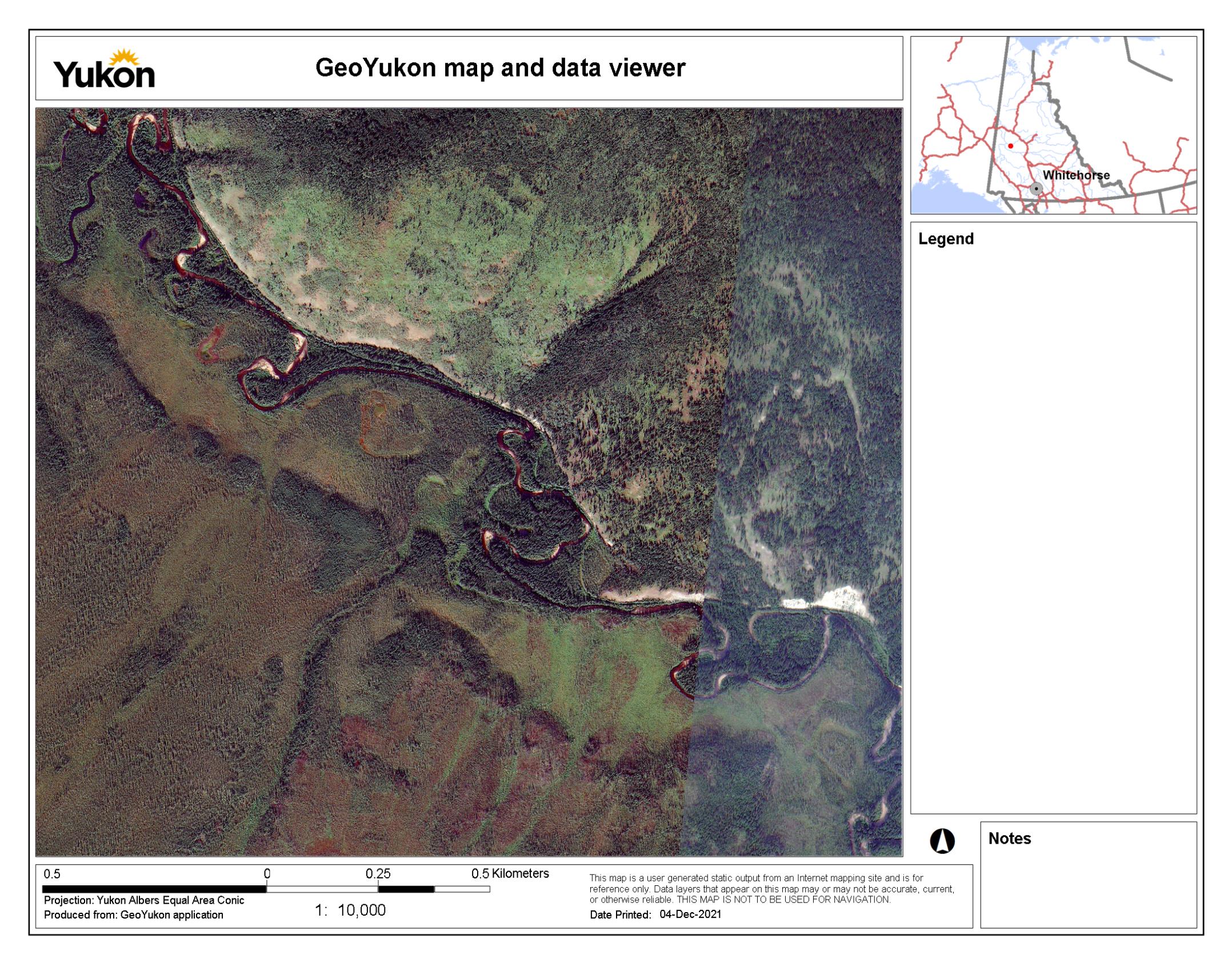
Map
Contact Seller
Please use the form below to contact the seller about this property: