Northern California Underground Gold Mine
Established 1892 - Lode Gold Mine For Sale
Location:
California, USA
Commodities:
Gold
Available Terms:
For Sale, Joint Venture
Price:
$1,295,000
SOLD
Summary
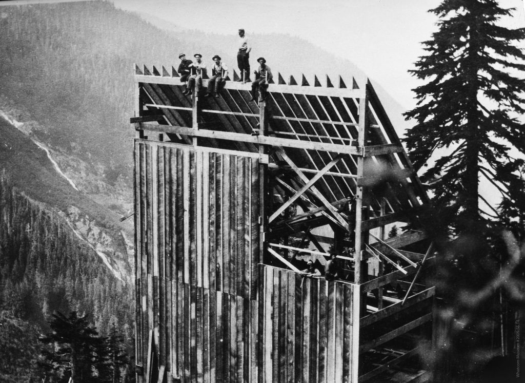
The Property consists of 7 contiguous unpatented surveyed federal load mining claims covering approximately 94.60 acres. The property has been operated intermittently over the past 120 years. Between the years 2011 thru 2013, the owners spent over $2.6 million (audited) on exploration and development mining. The property is supported by a Historical Resource Estimate (2009) suggesting 42,000 short tons blocked out at 1 opt and a 43-101 Technical Report (2012).
Looking for Similar Properties?
Browse our marketplace for active mining properties in similar locations or with similar commodities.
Browse All Listings